Dossier
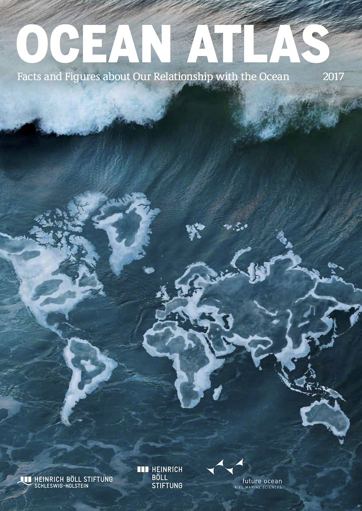
The Ocean Atlas
Territorially speaking, the high seas belong to no one – and so when it comes to exploitation, they belong to everyone.
Mankind and the Seas
The ocean covers more than two-thirds of our planet's surface. It is rich in resources and provides us with food, energy, and minerals. Oceans are important transportation routes and crucial for the stability of our climate and the weather. But due to overfishing, the loss of biodiversity, and ocean pollution, the future of this unique ecosystem faces a grave threat today.
This is where the atlas comes into play. It illustrates the important role played by the ocean and its ecosystems – not only for people living on the coasts but for all of us. It aims to give a current insight of the state and the threat of the seas, that are our livelihoods. Therefore we hope to stimulate a broader social and political discussion about the meaning of the ocean as an important system and the possibilities for protecting it.


The global demand for raw materials continues rising. What could be better than dipping into the treasure chest of the deep sea? Ecologists warn that anything that is destroyed there will not regenerate for a long time, if at all. But a number of countries and industrial companies are already chomping at the bit, eager to secure what they see as their piece of the cake.

Many EXPERTS contributed their expertise to the Ocean Atlas, particularly scientists working together at the University of Kiel’s Future Ocean Cluster of Excellence to research the development of our oceans.